|
 Beach Tour Maps are
the best www maps we can find for every beach we cover.
We found them on all kind of web sites. We marked our
favorites. See the Hall of
Fame for the best. Beach Tour Maps are
the best www maps we can find for every beach we cover.
We found them on all kind of web sites. We marked our
favorites. See the Hall of
Fame for the best.
Real Stories
About Driving to the Beach features the closest
beaches to Atlanta and beach driving distances from Atlanta.
Windsurfing
sites in the Southeast is not our site but it is a
terrific guide. This page is the map.
Islands without
bridges. We've extended this beyond South Carolina
Georgia, and Florida and have a long way to go.
Between the Beaches highlights
the inlets, harbors, sounds, and lighthouses. We
wish it was a real map but maybe we'll get there some day.
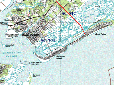
Aerial and Topographic
Maps You may be able to find your favorite beach house
in these aerial photo links.
Boats Ports Planes
Look here if you like ships, planes, and related museums.
Bridge Maps Arriving
at the beach often requires crossing a great bridge.
They are not only a gateway to the beach they often give
us a great view. We've included topographic maps of the
bridges and pictures of some of them. This page
show thumbnails Here is a breakdown of all the
bridge pages: Faster Bridge Maps - SC Bridge Maps, -Ga Bridge Maps, -Fla Atlantic -Bridge Maps
-Gulf Bridges Maps.
Slow Bridges
Is a giant slow page with TopoZone.com maps of all the
bridges. This is slow but we love it.
Fishing Piers
This page is waiting to become a map.
Beaches In Atlanta
Lists Atlanta's own beaches and water parks.
Map Sources
lists and comments on Internet map resources.
SC GLIS, GA GLIS, and Fla GLIS maps are
a USGS gateway for ordering maps (9-19-00) |